Log in
All resources
Create a design
11,660 Free Images of Old Map
atlante veneto (raremaps.com) volume 2
maps made in the 17th century
old maps of islands of the aegean sea
bartolommeo dalli sonetti
maps with cartouches
atlantis magni tomus secundus (biblioteca comunale di trento)
atlas van der hagen
maps by pieter schenk (i)
atlas van der hagen (volume 3)
gerard valck
maps of the canton of basel-landschaft
old maps of switzerland
old maps of athens
1805
maps with cartouches
atlas van der hagen
atlantis magni tomus tertius (biblioteca comunale di trento)
maps made in the 17th century
dell'arcano del mare
harvard university
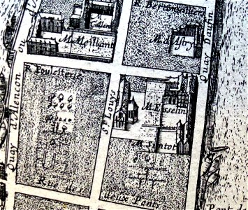
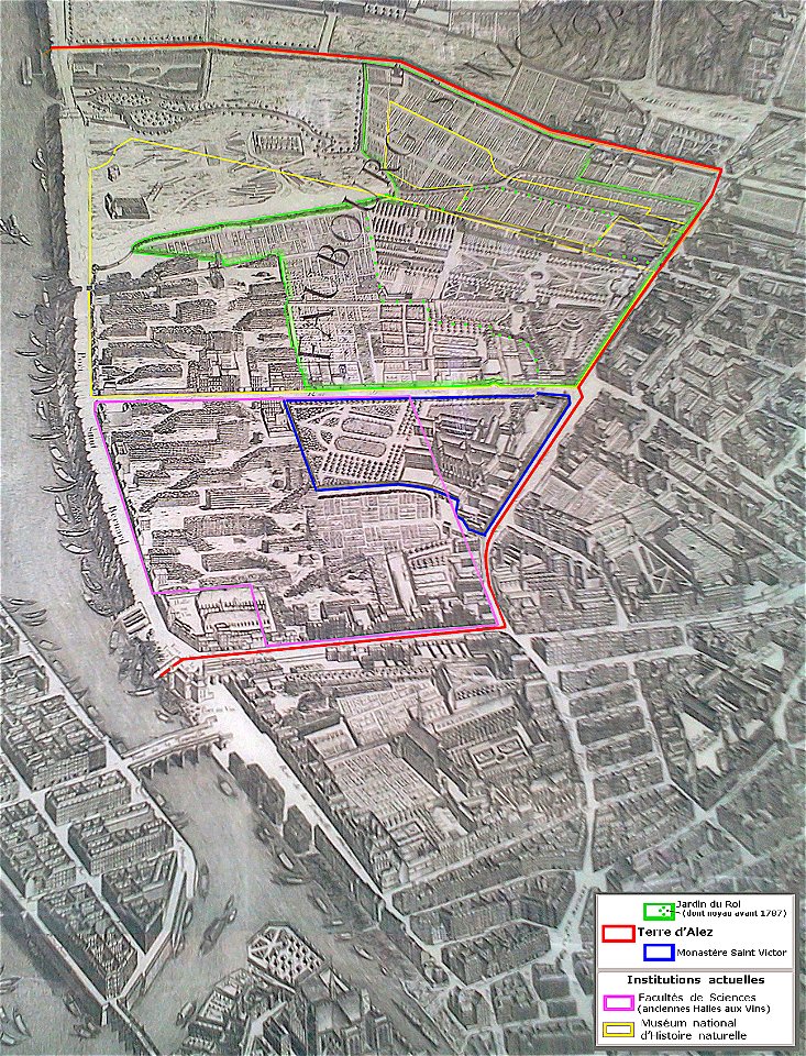
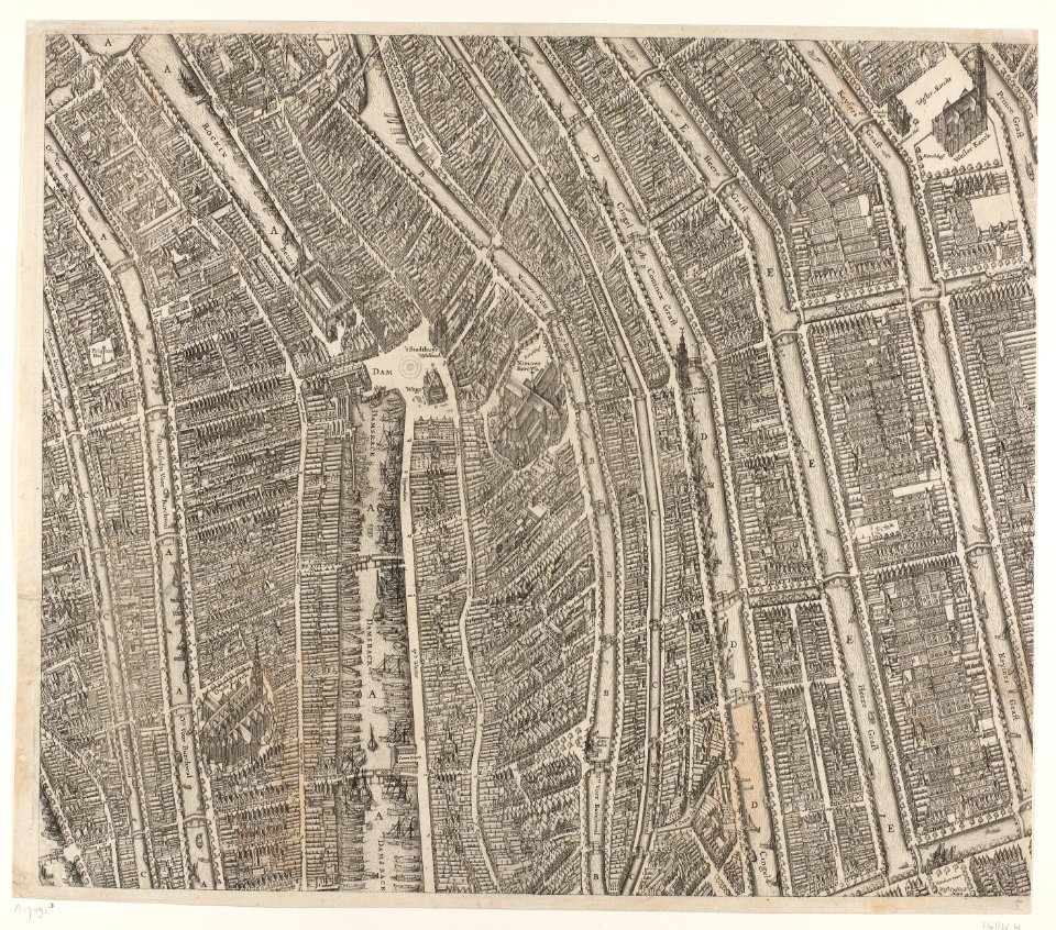
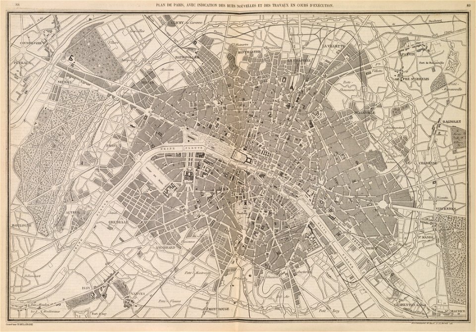
1652 gomboust map of paris - derivative files
old maps of île saint-louis
collections de la bibliothèque nationale et universitaire de strasbourg
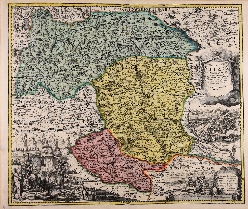
johann baptist homann
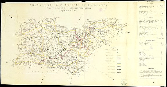
old maps of the province of a coruña
litografía de julio donón
world map
maps
maps made in the 17th century
gerard valck
maps made in the 17th century
maps by nicolaes visscher i
maps made in the 17th century
old maps of gelderland
maps made in the 17th century
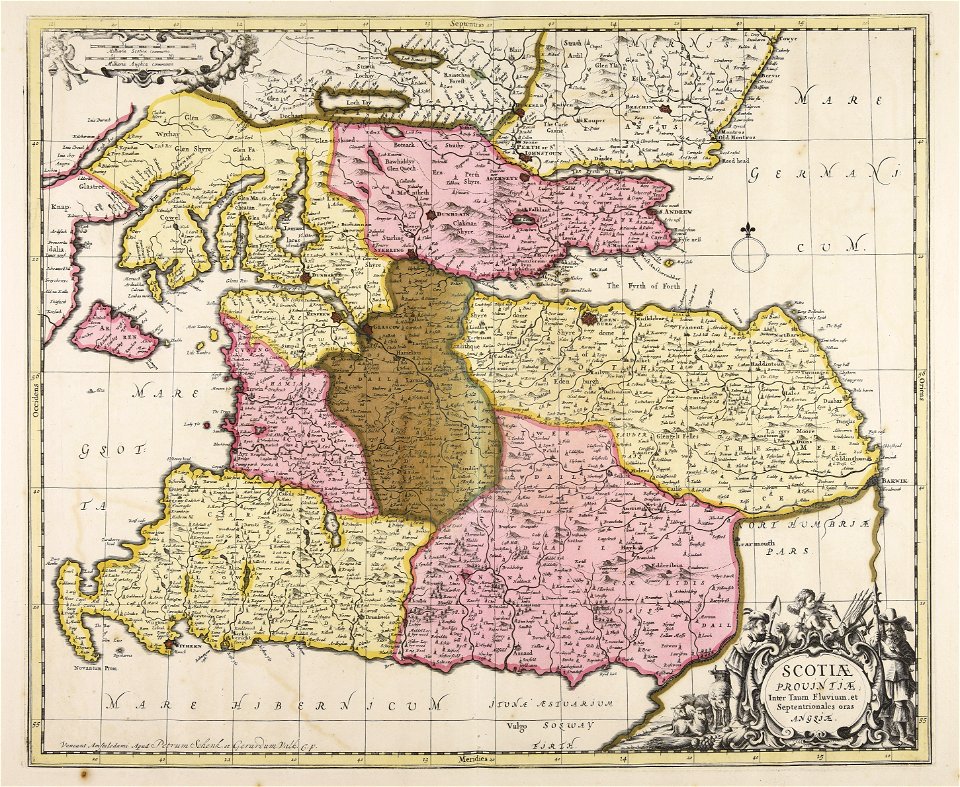
lochaber
maps made in the 18th century
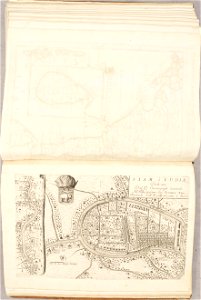
old maps of iran
fonds ancely - bibliothèque municipale de toulouse - maps
coats of arms of cities in pyrénées-atlantiques
historical images of bièvre river in paris
old submaps of paris
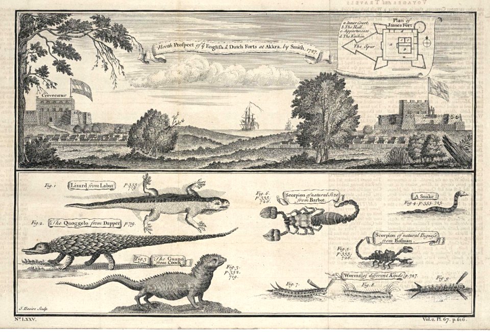
accra
1745
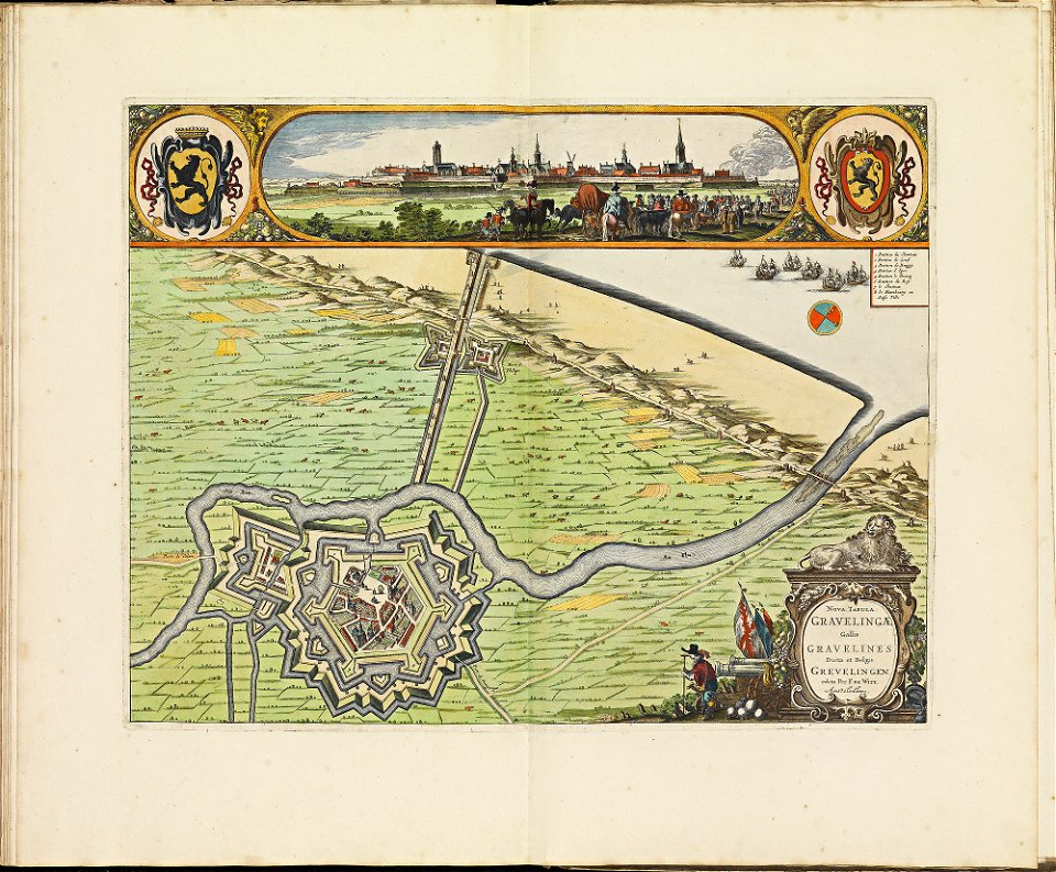
maps of gravelines city wall
frederick de wit
maps with cartouches
atlas van der hagen
maps with cartouches
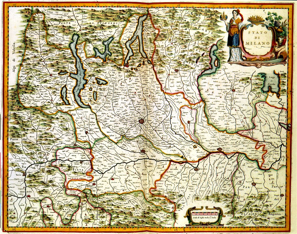
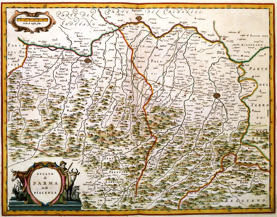
old maps of milan
maps with cartouches
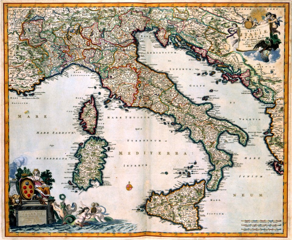
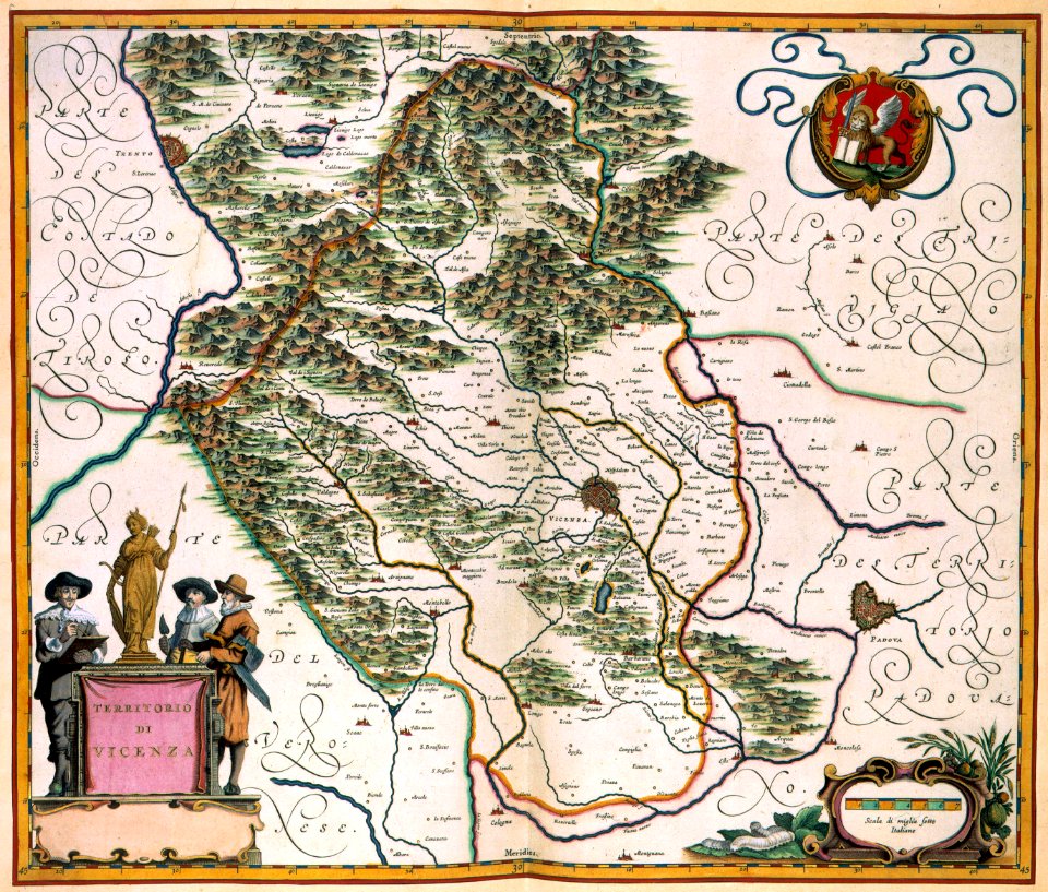
old maps of italy
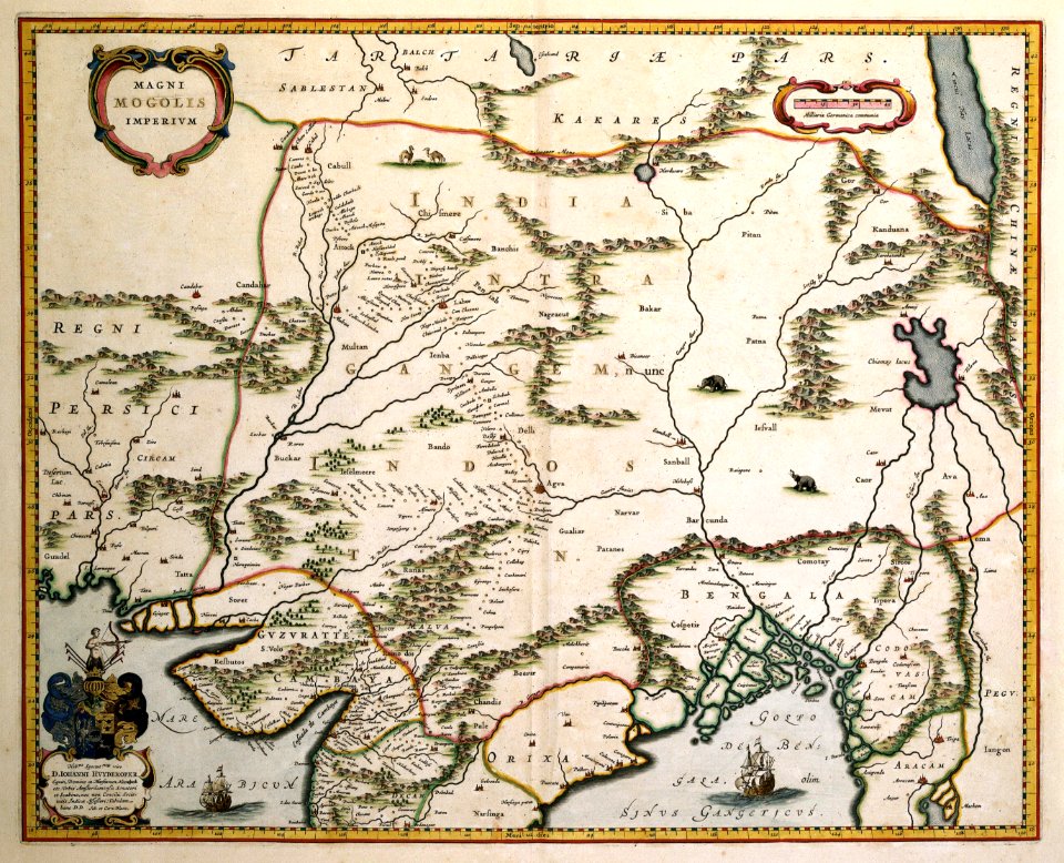
old maps of mongolia
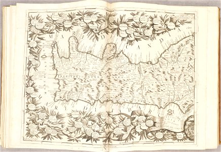
maps with cartouches
maps with cartouches
atlas van der hagen
dutch 17th-century prints in the rijksmuseum amsterdam
maps in the rijksmuseum amsterdam
maps made in the 17th century
nicolaes visscher ii
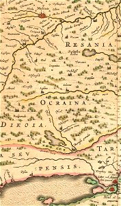
old maps of the tsardom of russia
history of valuyki
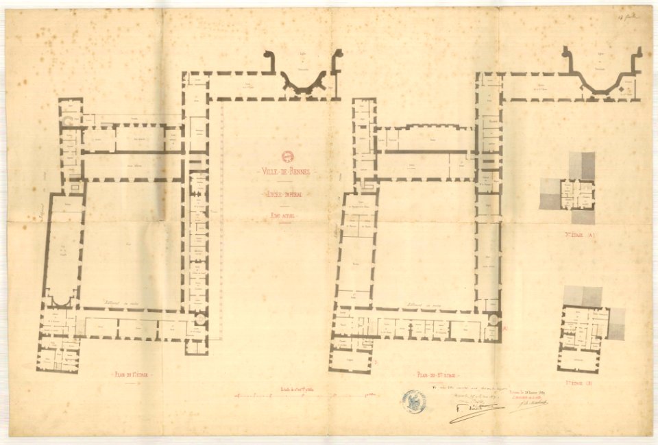
jean-baptiste martenot
old maps of rennes
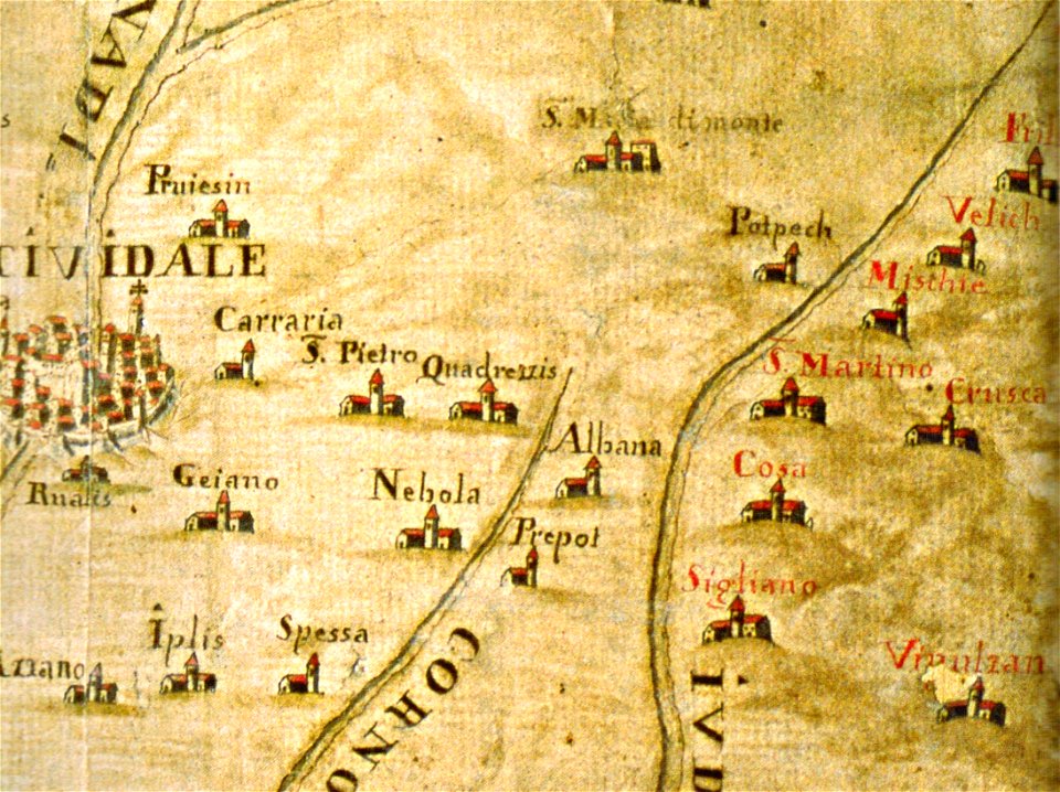
santuario della beata vergine di castelmonte
historical images of cividale del friuli
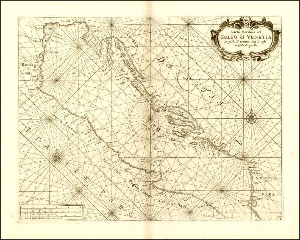
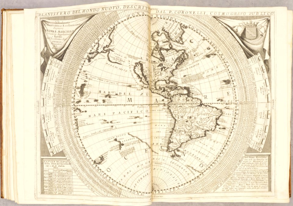
vincenzo coronelli
1690s maps
old manuscript maps
pictorial maps
l'illustration
1853
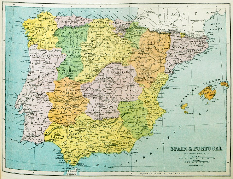
old maps of the iberian peninsula
1870 in spain
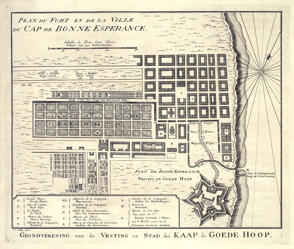
grand parade
cape town
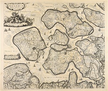
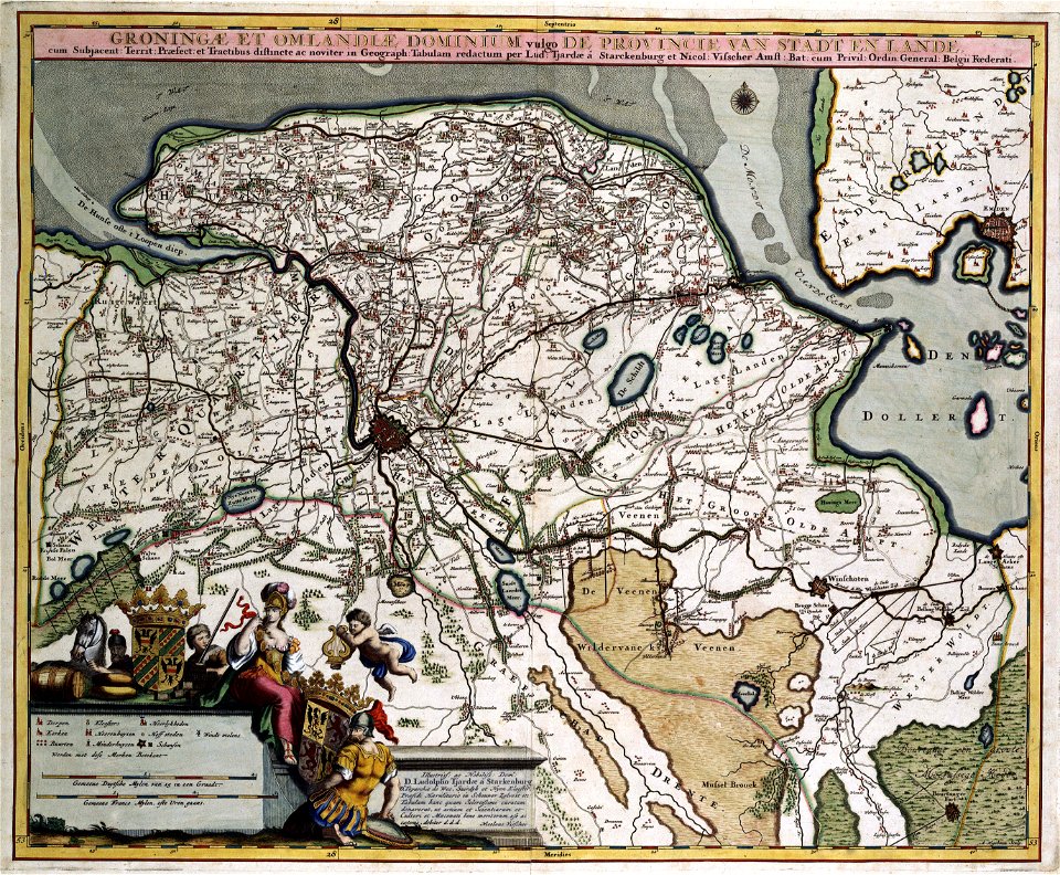
old maps of groningen (province)
maps with cartouches
maps with cartouches
atlas van der hagen
fonds ancely - bibliothèque municipale de toulouse - maps
joachim murat
fonds ancely - bibliothèque municipale de toulouse - maps
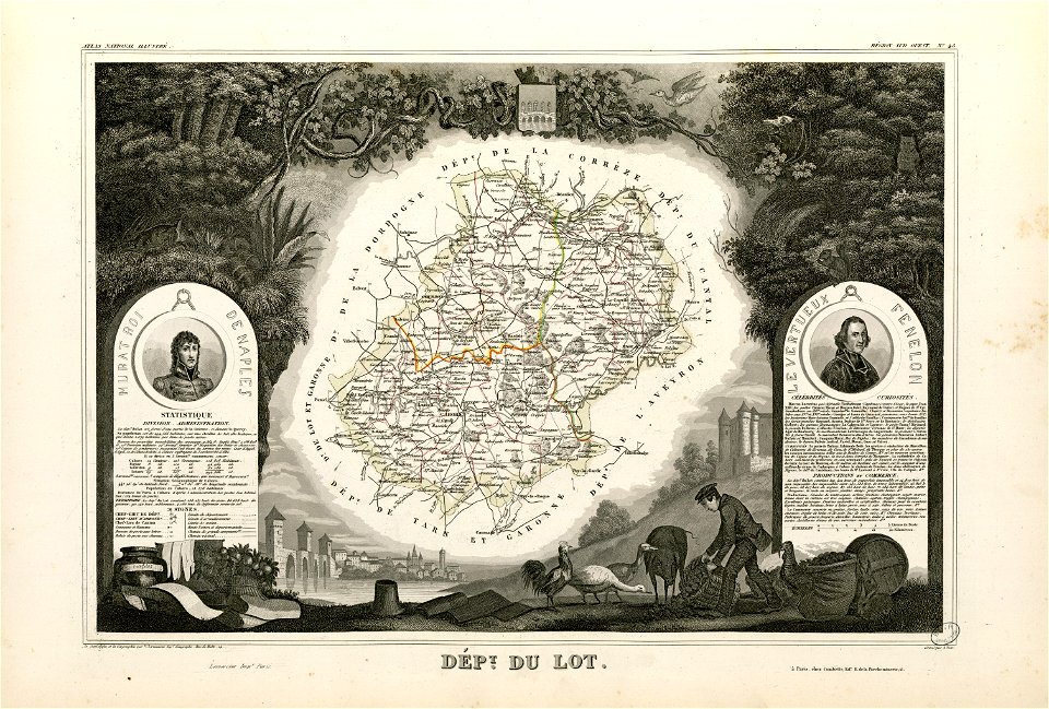
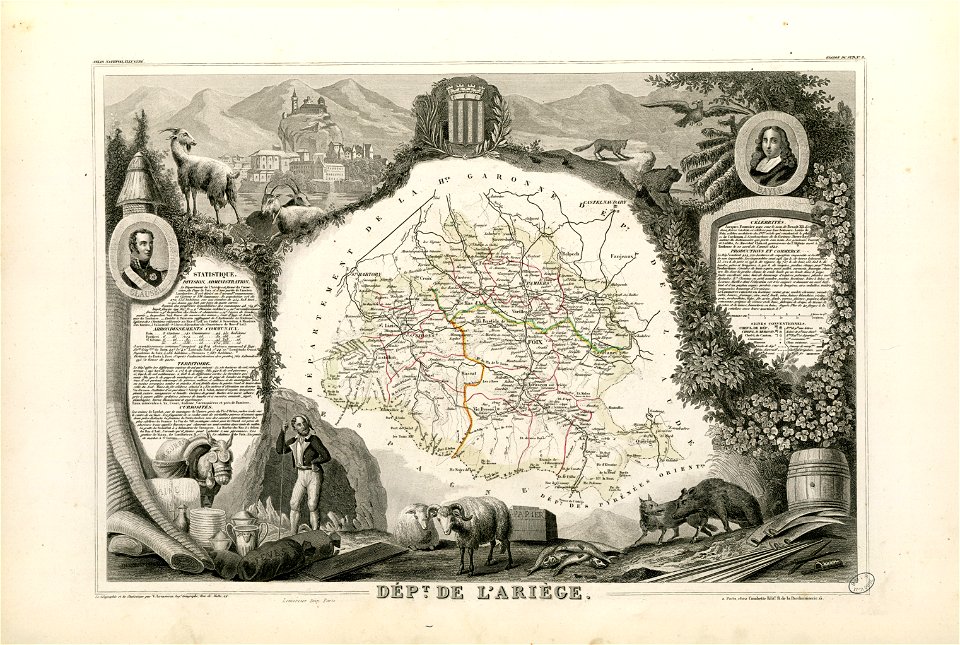
victor levasseur - maps of france
maps made in the 17th century
gerard valck
maps made in the 17th century
gerard valck
fonds ancely - bibliothèque municipale de toulouse - maps
pierre gorse
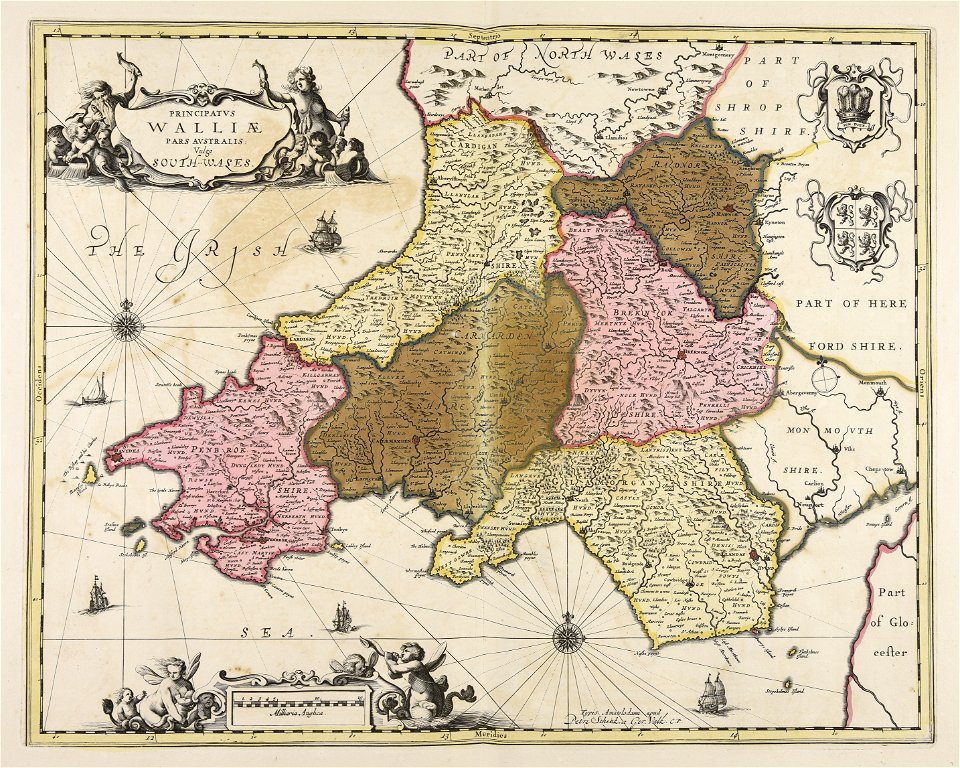
gerard valck
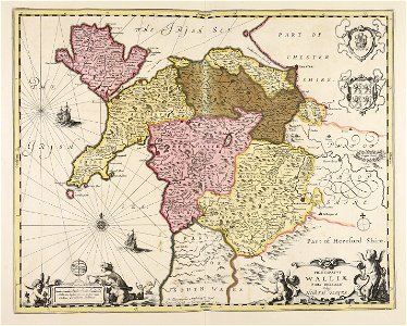
south wales
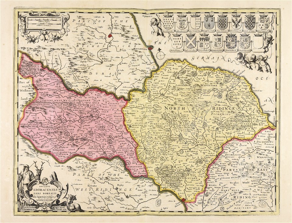
gerard valck
north wales
maps in the library of congress
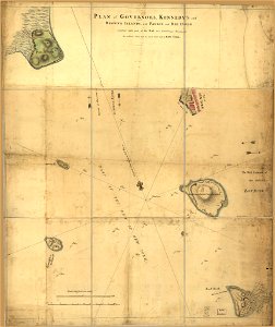
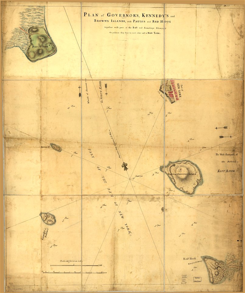
old maps of new york (state)
maps in the library of congress
old maps of new york (state)
description des principales villes (1690)
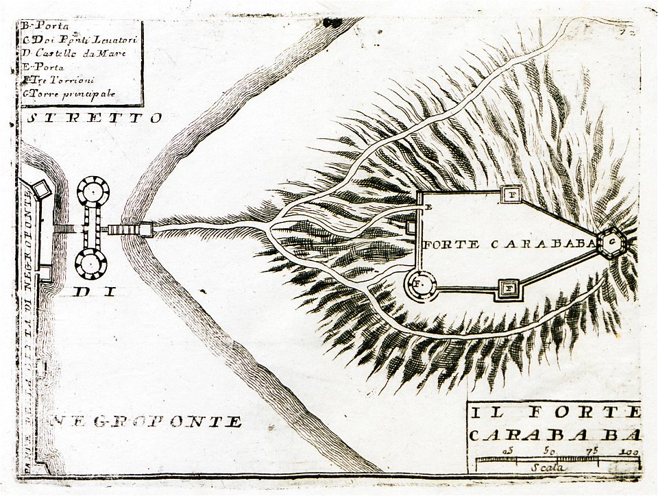
old maps of rhodes (city)
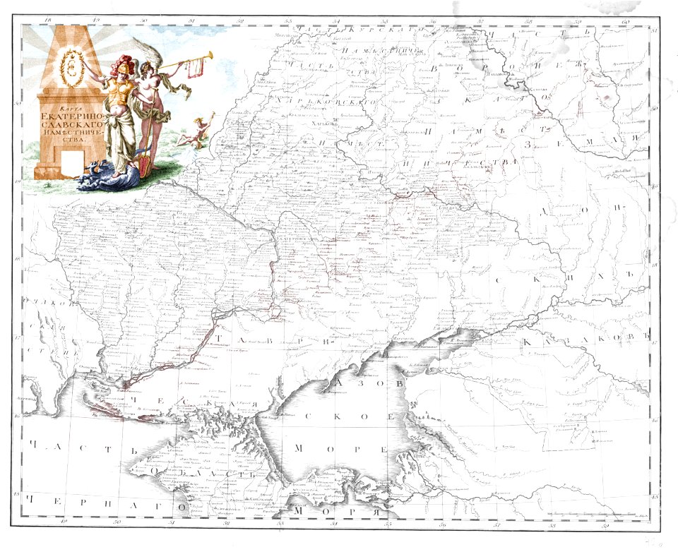
old maps of yekaterinoslav governorate
atlas of the russian empire (1792)
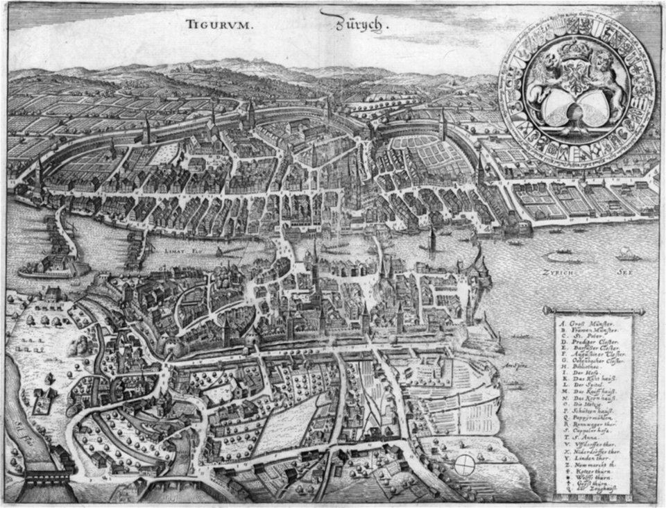
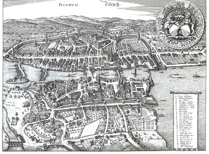
old maps of zürich
merian helvetiae
atlante veneto (raremaps.com) volume 1
old maps of the americas
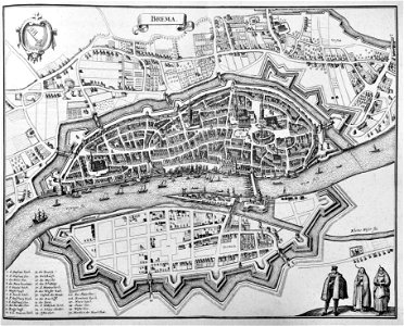
old maps of bremen (state)
bremen in the 1650s
old maps of islands of the aegean sea
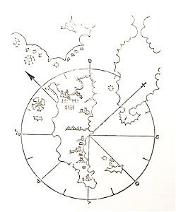
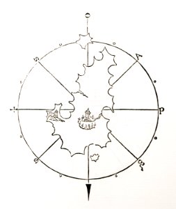
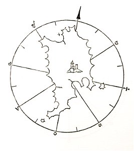
bartolommeo dalli sonetti
old maps of islands of the aegean sea
bartolommeo dalli sonetti
old maps of islands of the aegean sea
bartolommeo dalli sonetti
old maps of islands of the aegean sea
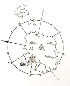
bartolommeo dalli sonetti
old maps of islands of the aegean sea
bartolommeo dalli sonetti
old maps of islands of the aegean sea
bartolommeo dalli sonetti
old maps of islands of the aegean sea
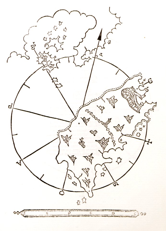
bartolommeo dalli sonetti
old maps of islands of the aegean sea
bartolommeo dalli sonetti
old maps of islands of the aegean sea
bartolommeo dalli sonetti
old maps of islands of the aegean sea
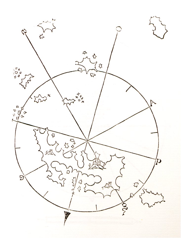
bartolommeo dalli sonetti
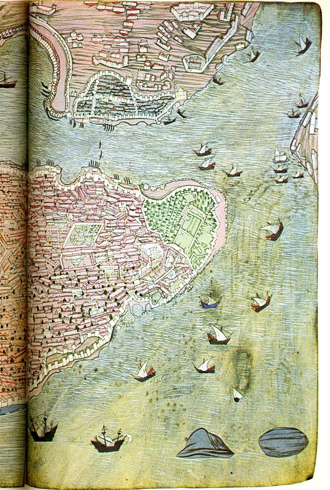
old maps of istanbul
hünername
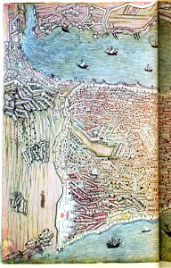
old maps of istanbul
hünername
atlante veneto (raremaps.com) volume 2
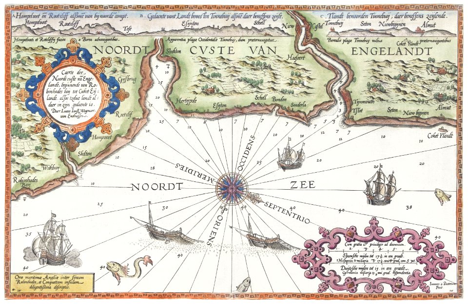
old maps of england
atlante veneto (raremaps.com) volume 2
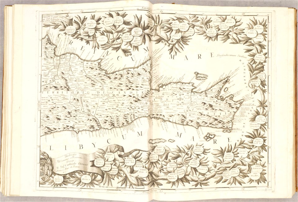
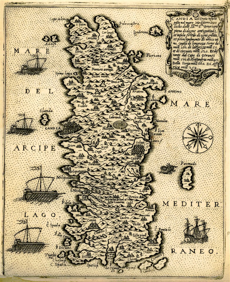
old maps of crete
atlante veneto (raremaps.com) volume 2
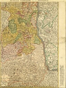
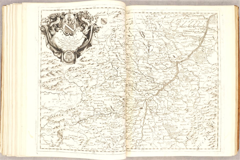
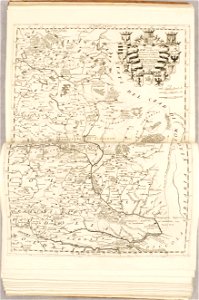
old maps of alsace
atlante veneto (raremaps.com) volume 2
old maps of france
atlante veneto (raremaps.com) volume 2
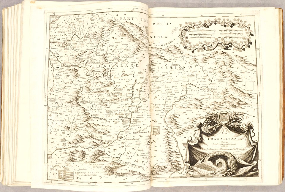
old maps of transylvania
atlante veneto (raremaps.com) volume 2
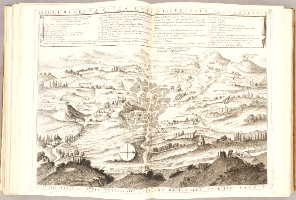
old maps of athens
atlante veneto (raremaps.com) volume 2
old maps of genoa
atlante veneto (raremaps.com) volume 2
old maps of china
atlante veneto (raremaps.com) volume 2
old maps of china
atlante veneto (raremaps.com) volume 2
old maps of poland
atlante veneto (raremaps.com) volume 2
old maps of poland
atlante veneto (raremaps.com) volume 2
old maps of crete
atlante veneto (raremaps.com) volume 2
old maps of ayutthaya
atlante veneto (raremaps.com) volume 2
old maps of china
atlante veneto (raremaps.com) volume 2
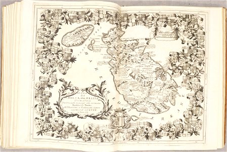
old maps of malta
atlante veneto (raremaps.com) volume 2
old maps of italy
atlante veneto (raremaps.com) volume 2
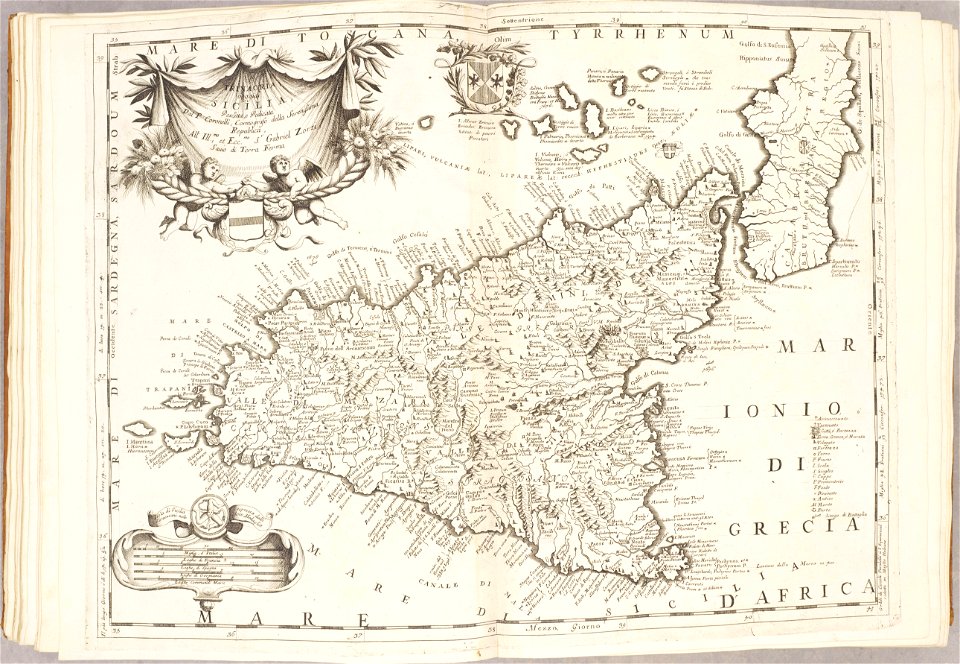
old maps of sicily
atlante veneto (raremaps.com) volume 2
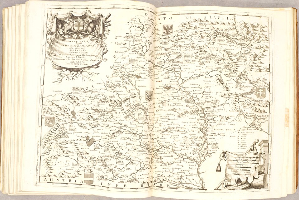
old maps of moravia
atlante veneto (raremaps.com) volume 2
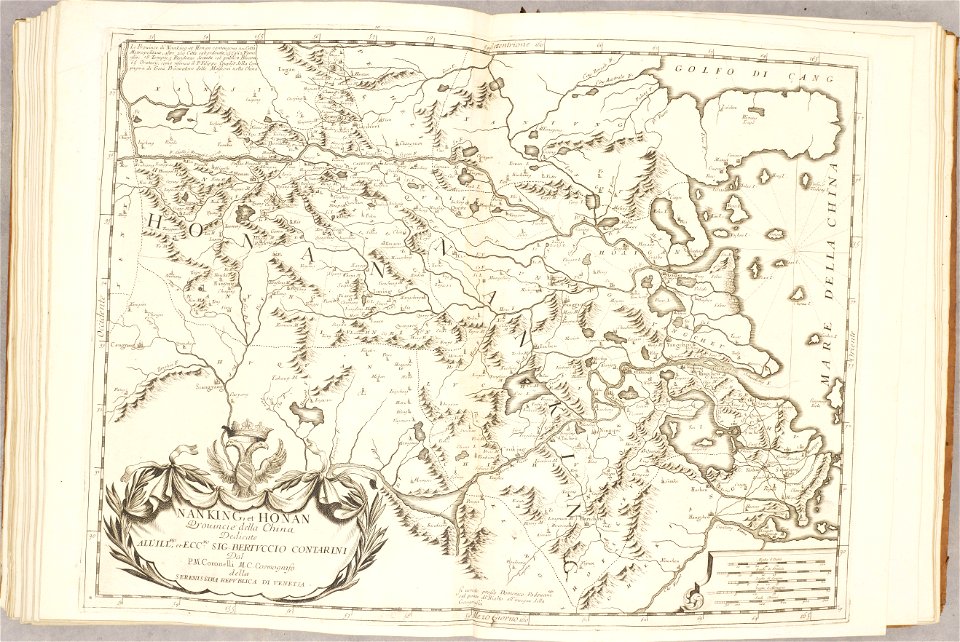
old maps of china
atlante veneto (raremaps.com) volume 2
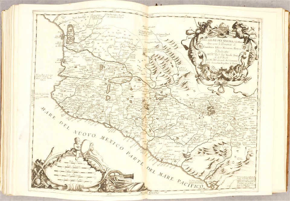
old maps of mexico
old maps of crete
giovanni camocio
geographical illustrations by coronelli
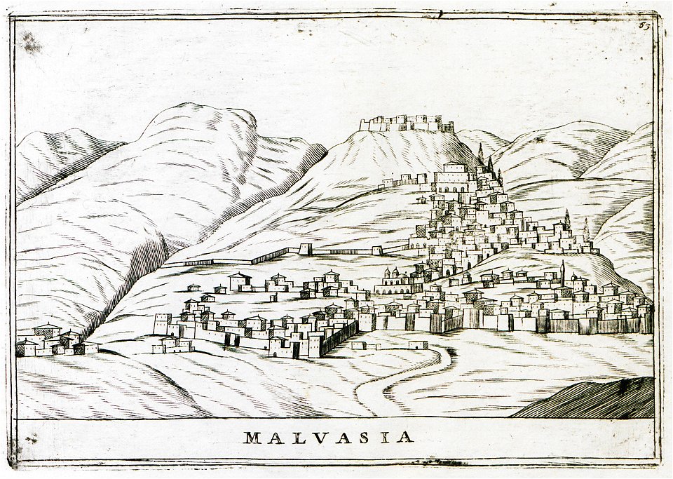
old maps of the peloponnese
historical images of minsk
old maps of minsk
geographical illustrations by coronelli
old maps of the peloponnese
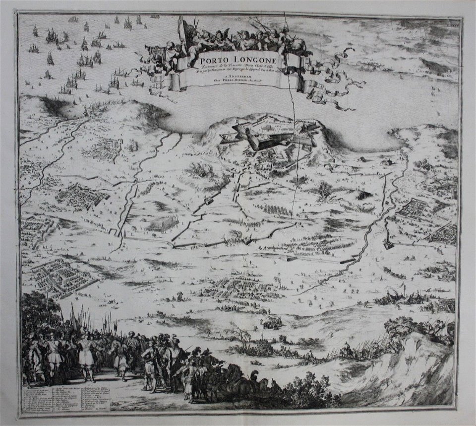
old maps of elba
pierre mortier
1638 in switzerland
sihlkanal (zürich)
charte von schwaben (bohnenberger)
old maps of switzerland
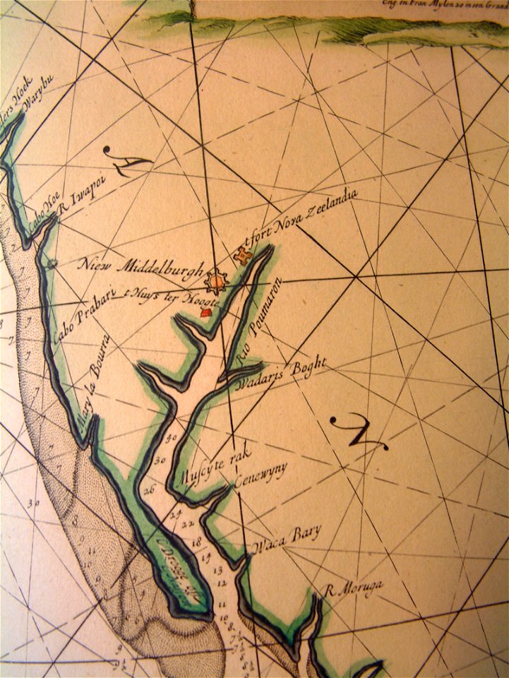
old maps of pomeroon
johannes van keulen
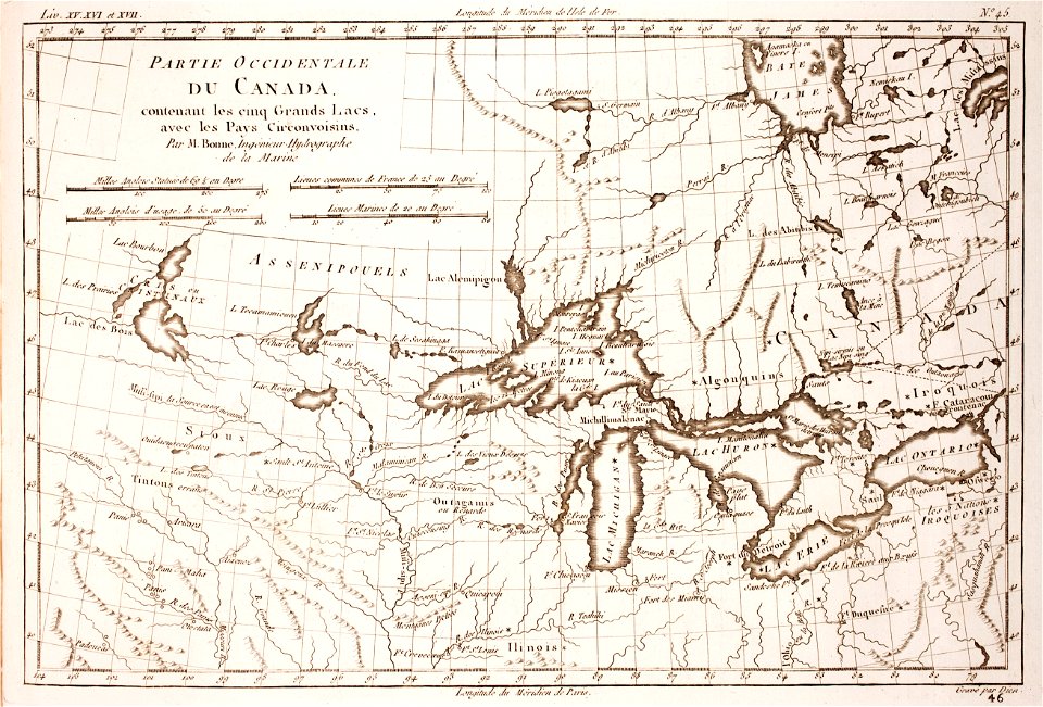
1780 maps of wisconsin
1780 maps of montana
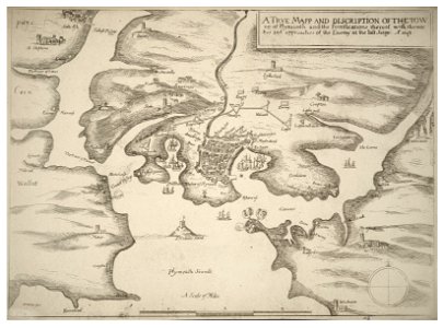
university of toronto wenceslas hollar digital collection
english civil war
braunschweig in the 1880s
old maps of braunschweig
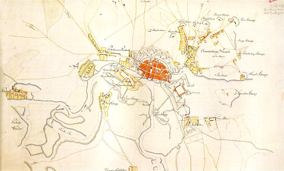
historical documents of the spandau citadel
festung spandau
dutch 17th-century prints in the rijksmuseum amsterdam
maps in the rijksmuseum amsterdam
flemish prints in the british museum
etchings by wenzel hollar
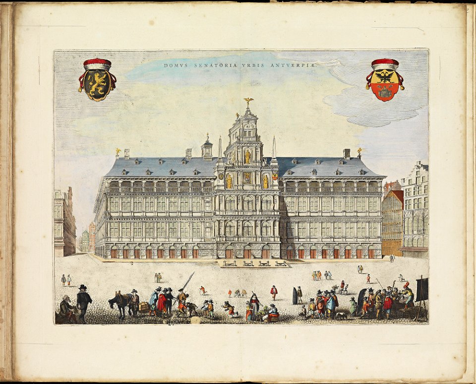
maps of antwerp city walls
frederick de wit
dutch 17th-century prints in the rijksmuseum amsterdam
maps in the rijksmuseum amsterdam
atlas de wit 1698
frederick de wit
maps made in the 16th century
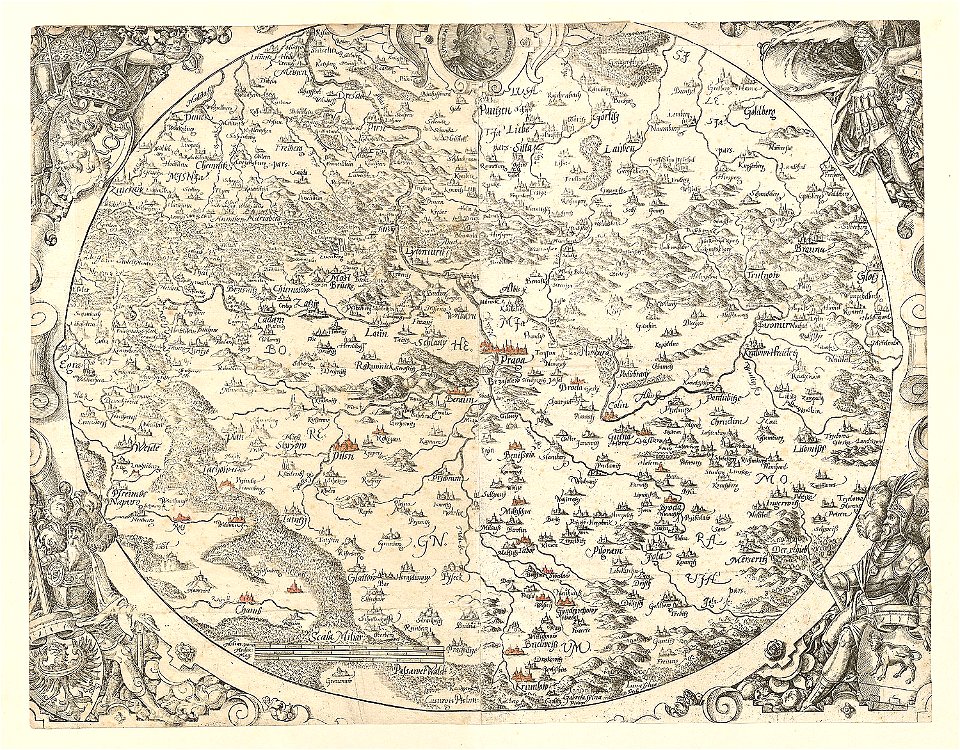
old maps of bohemia
johann baptist homann
old maps of styria
3301 - 3400 of 11,660
Next page
/ 117